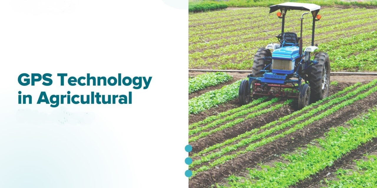
GPS technology has revolutionized agriculture by enabling precision farming, improving efficiency, and reducing costs. Integrating GPS into agricultural machinery enhances accuracy in planting, fertilizing, spraying, and harvesting operations. Here’s how GPS technology is integrated into agricultural machinery and its applications:
1. Auto-Steering Systems
- Integration:
- GPS-enabled auto-steering systems guide tractors, combines, and other machinery along precise paths.
- The system communicates with the machinery’s steering mechanism to maintain alignment based on pre-programmed coordinates.
- Applications:
- Ensures straight rows for planting and harvesting.
- Reduces overlap during seeding, fertilizing, and spraying.
- Benefits:
- Saves time, reduces fuel consumption, and minimizes input waste.
- Enhances operator comfort by reducing manual steering effort.
- Example:
- Auto-steering systems like John Deere AutoTrac enable centimeter-level accuracy for field operations.
2. Variable Rate Technology (VRT)
- Integration:
- GPS systems provide location data to machinery equipped with sensors or controllers that adjust input rates (fertilizers, seeds, pesticides) in real time.
- VRT systems map variations in soil and crop conditions to optimize input distribution.
- Applications:
- Applies fertilizers or pesticides based on field-specific requirements.
- Adjusts planting density to maximize yield potential.
- Benefits:
- Reduces input waste and environmental impact while improving crop performance.
- Example:
- GPS-enabled sprayers adjust pesticide application rates based on field conditions, avoiding over- or under-application.
3. Field Mapping and Boundary Management
- Integration:
- GPS-enabled machinery maps field boundaries, tracks operations, and logs data for future planning.
- Field mapping software integrates with GPS data to delineate sections for different crops or management practices.
- Applications:
- Identifies no-spray zones or protected areas.
- Divides fields into zones for tailored management.
- Benefits:
- Optimizes resource use and ensures compliance with environmental regulations.
- Example:
- A GPS-enabled tractor can map a field to establish boundaries for planting corn on one side and soybeans on another.
4. Yield Monitoring and Mapping
- Integration:
- Combines equipped with GPS and yield sensors track real-time crop yield data during harvest.
- Data is logged with location coordinates to create yield maps for analyzing field performance.
- Applications:
- Identifies high- and low-yield areas in fields.
- Guides decisions for soil testing, fertilization, or drainage improvements.
- Benefits:
- Supports data-driven management practices and enhances profitability.
- Example:
- A GPS-enabled yield monitor shows that specific zones of a wheat field are underperforming, prompting soil amendments.
5. Fleet Management
- Integration:
- GPS systems track the location and movement of machinery in real time.
- Data integrates into fleet management software for monitoring and coordination.
- Applications:
- Tracks progress of multiple machines during planting or harvesting.
- Optimizes routing for transport vehicles like grain carts.
- Benefits:
- Reduces downtime and fuel usage while improving logistical efficiency.
- Example:
- During harvest, a GPS-based system directs grain carts to meet combines efficiently, minimizing idle time.
6. Controlled Traffic Farming (CTF)
- Integration:
- GPS-enabled machinery follows pre-determined paths to minimize soil compaction by restricting traffic to specific areas.
- Applications:
- Guides machinery along consistent tracks for planting, fertilizing, and harvesting.
- Benefits:
- Protects soil structure, improves drainage, and enhances root growth.
- Example:
- GPS systems ensure tractors and sprayers use the same tracks year after year, preserving soil health.
7. Real-Time Kinematic (RTK) GPS
- Integration:
- RTK systems use base stations to improve GPS accuracy to within 1–2 cm.
- RTK modules are installed in tractors, sprayers, and harvesters for high-precision operations.
- Applications:
- Enables row-by-row accuracy for planting and strip-tillage.
- Supports sub-inch accuracy for specialty crops like vegetables.
- Benefits:
- Maximizes yield potential by ensuring optimal plant spacing and depth.
- Example:
- RTK-enabled planters achieve precise seed placement for corn, reducing competition and improving germination rates.
8. Sprayer Control and Section Mapping
- Integration:
- GPS integrates with sprayers to control nozzles and sections based on real-time field data.
- Automatic section control prevents overlap or skips.
- Applications:
- Sprays only where needed, avoiding waste or over-application.
- Enables precision spraying for spot treatments or contour fields.
- Benefits:
- Reduces chemical use and protects non-target areas.
- Example:
- A GPS-guided sprayer skips sections of the field already treated, ensuring efficient pesticide application.
9. Autonomous Machinery
- Integration:
- GPS systems are core to autonomous machinery, allowing tractors, combines, and drones to operate without human intervention.
- Autonomous machines navigate fields using pre-programmed GPS paths.
- Applications:
- Automates repetitive tasks like tillage, planting, and spraying.
- Enables continuous operation, even in low visibility or nighttime.
- Benefits:
- Increases operational efficiency, reduces labor dependency, and ensures consistent performance.
- Example:
- A GPS-guided autonomous sprayer applies herbicides at night, reducing operator workload.
10. Post-Harvest Logistics
- Integration:
- GPS integrates with grain carts and transport vehicles for efficient post-harvest movement.
- Tracks harvested areas and guides transport vehicles to meet harvesters.
- Applications:
- Optimizes routes for unloading and transporting grain to storage or markets.
- Benefits:
- Reduces fuel consumption, transport time, and logistical errors.
- Example:
- GPS tracking ensures transport trucks arrive at the correct combine location for unloading.
11. Data Collection and Analytics
- Integration:
- GPS logs data from every field operation, which can be analyzed using farm management software.
- Applications:
- Tracks planting, spraying, and harvesting data for each field.
- Guides decisions on crop rotation, input usage, and field improvements.
- Benefits:
- Enables data-driven decision-making for long-term profitability and sustainability.
- Example:
- A GPS-based system reveals which parts of the field yield consistently high returns, prompting targeted investments in those areas.
12. Remote Monitoring
- Integration:
- GPS-equipped machinery sends real-time location and performance data to mobile or cloud-based platforms.
- Applications:
- Monitors field operations remotely to track progress and identify issues.
- Alerts operators to maintenance needs or unexpected delays.
- Benefits:
- Enhances operational oversight and reduces downtime.
- Example:
- A farmer monitors the progress of planting operations via a smartphone app while managing other tasks.
Benefits of Integrating GPS Technology
- Increased Efficiency:
- Optimizes machinery usage, reducing time and fuel costs.
- Cost Savings:
- Minimizes input wastage by ensuring precise application.
- Higher Yields:
- Improves planting and input accuracy, enhancing crop performance.
- Sustainability:
- Reduces environmental impact through precise resource use.
- Labor Optimization:
- Automates tasks, reducing the need for manual labor.
- Data-Driven Decisions:
- Provides actionable insights to improve farm management.
Conclusion
Integrating GPS technology into agricultural machinery transforms traditional farming practices into precision farming systems. It enhances efficiency, reduces costs, and supports sustainable agriculture by ensuring precise and efficient field operations. As the technology continues to advance, GPS integration will play an even greater role in enabling autonomous farming, real-time analytics, and data-driven decision-making for modern agriculture.
Hashtags
#FarmAutomation #DataDrivenFarming #PrecisionFarming #AgTech #DigitalAgriculture #FarmersOfTheFuture #AgriInnovation #SmartFarmers #SustainableAgriculture #TechnologyInFarming #FarmersMarket #AgriBusiness #FarmingTechnology #InnovativeFarming #AgriRevolution #GPSFarming #SmartFarmingSolutions #EfficientAgriculture #FarmingIndustry #AgriTechRevolution


